How to start
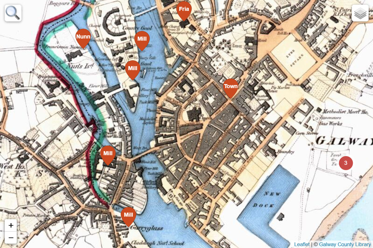
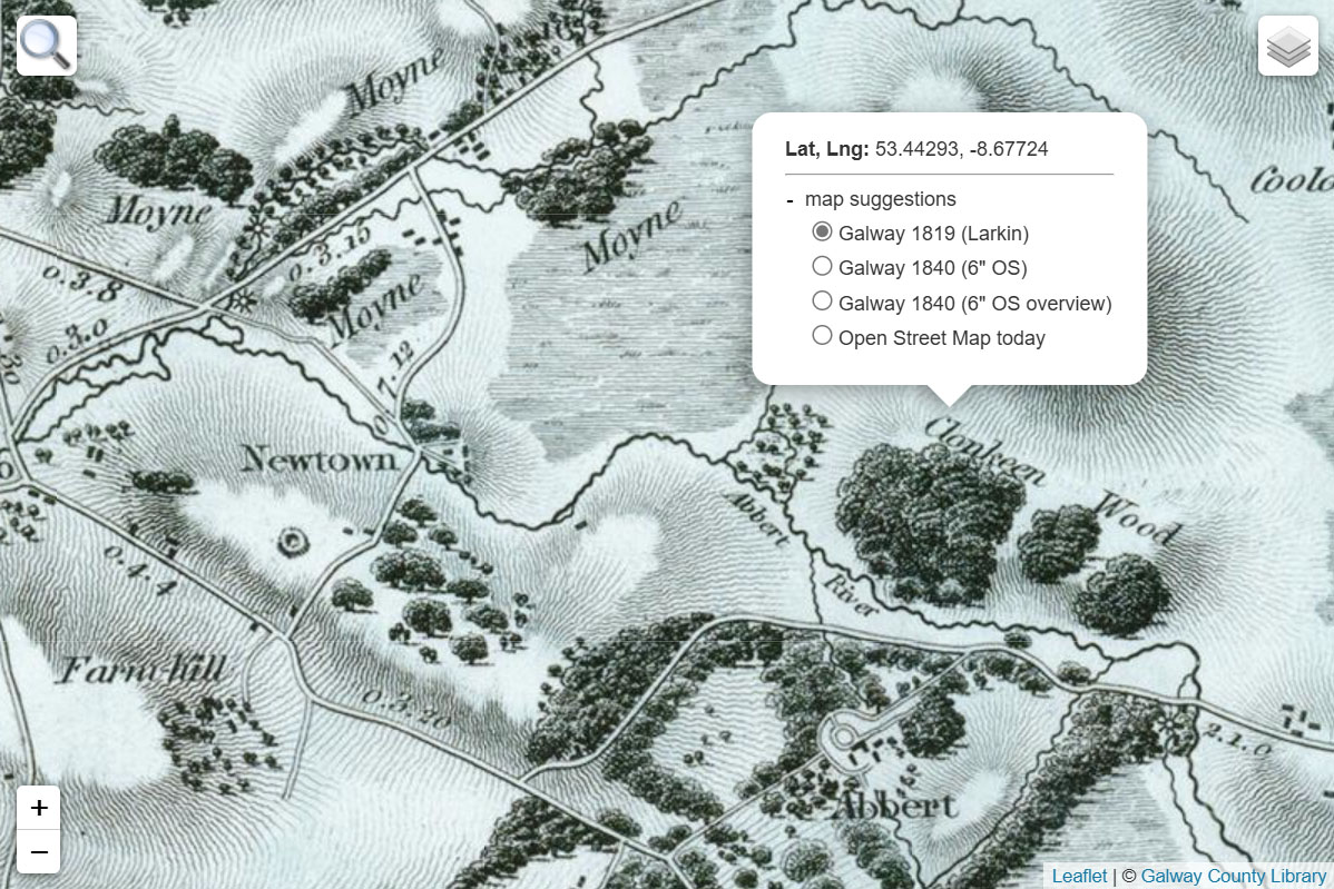
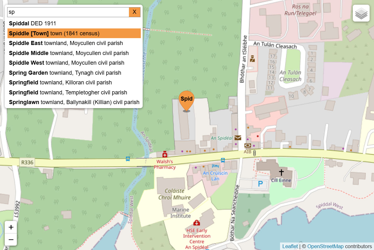
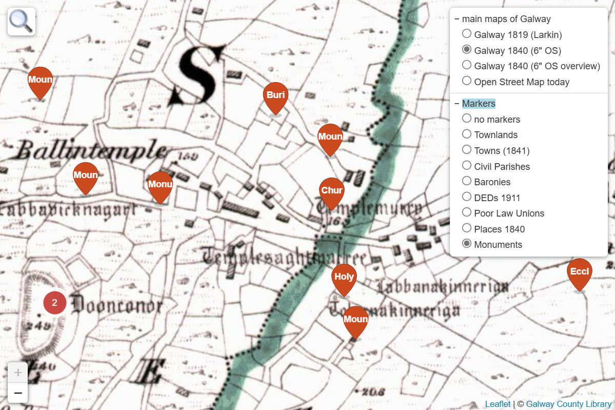
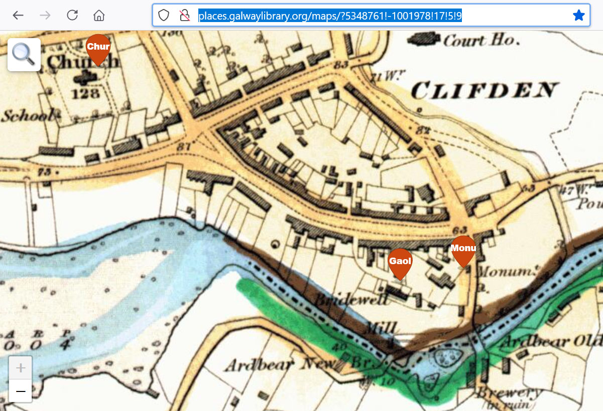
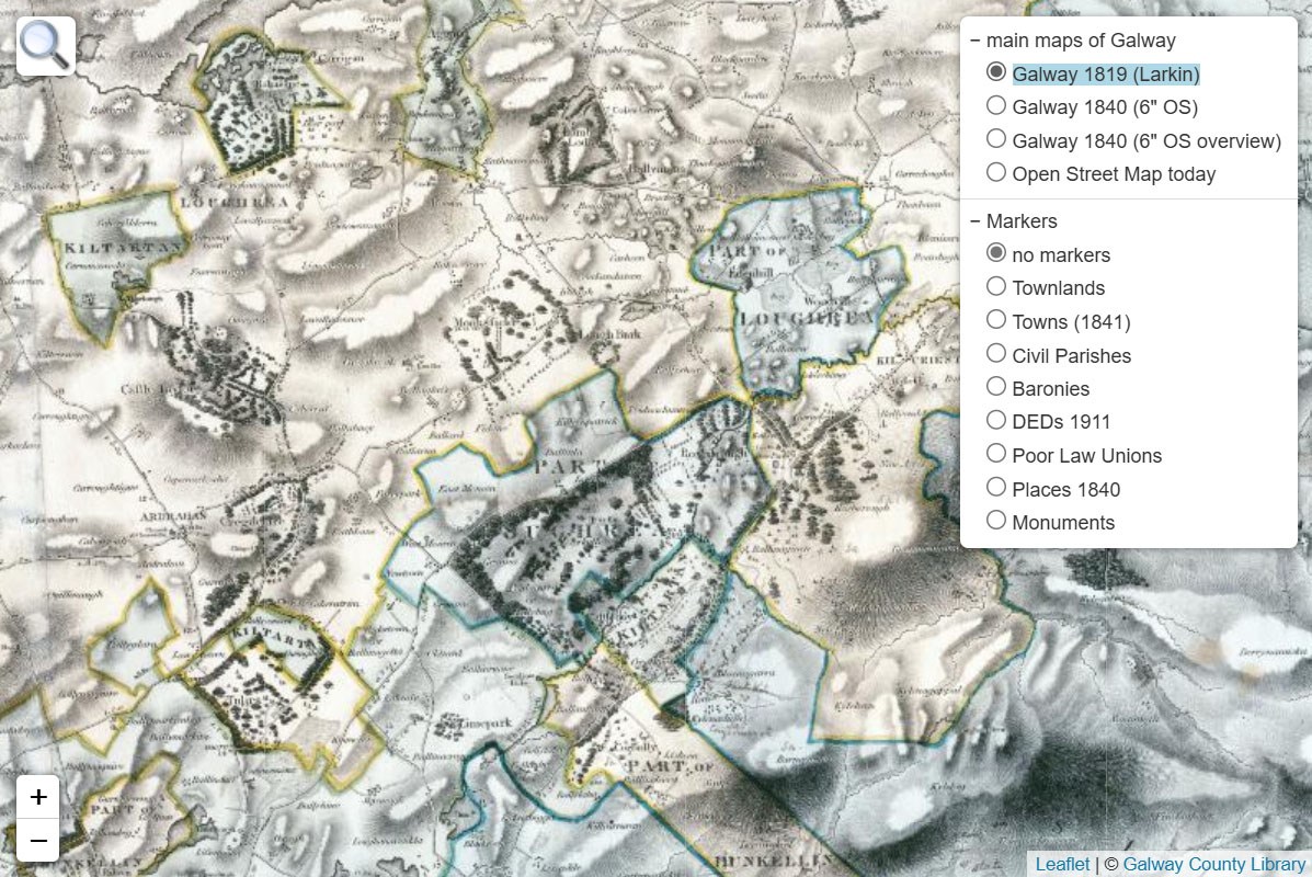
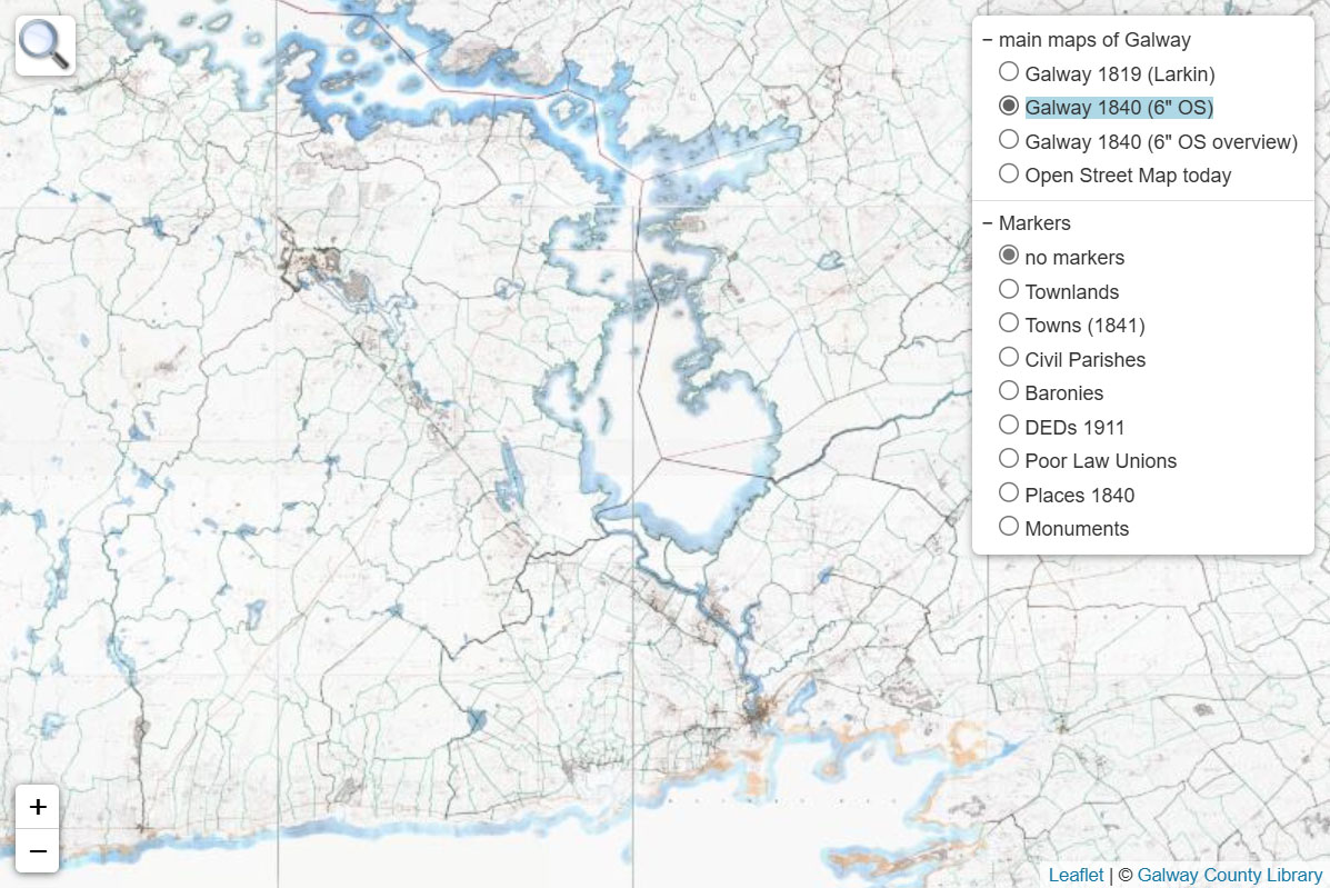
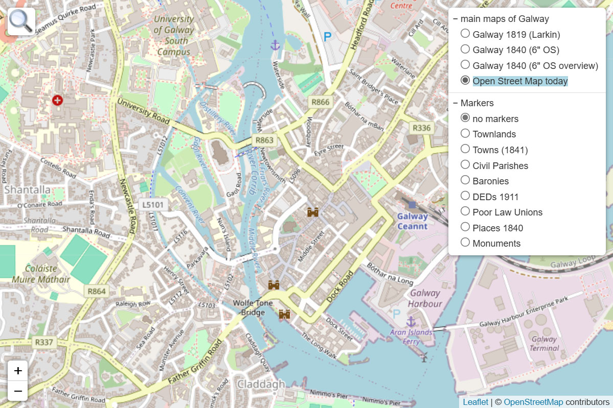
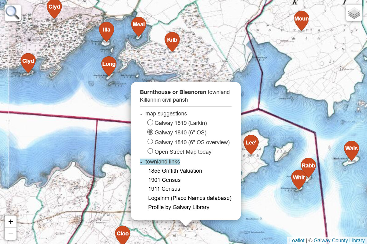
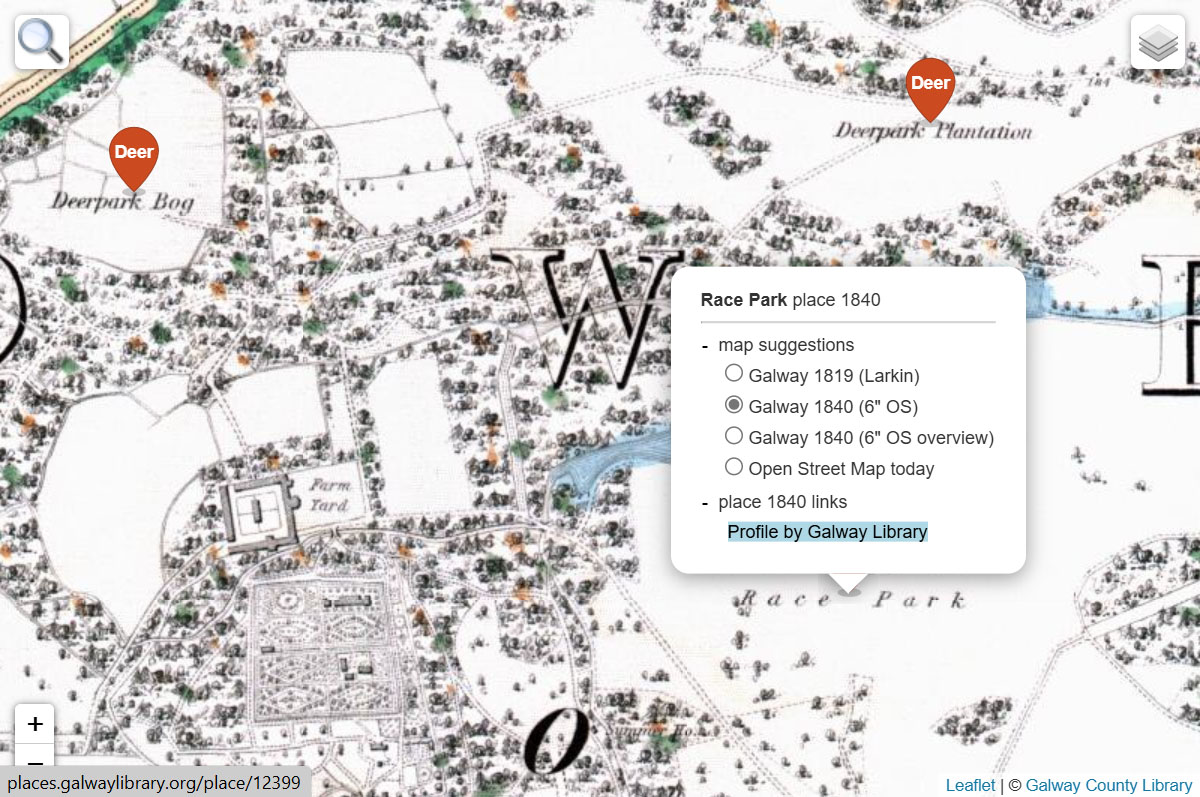
To open the Galway County Library map system, click/tap on this link here or click/tap on one of the screenshots on this web page. If you choose the link, you'll get the map system's default display, i.e., a view of the 1840's Ordnance Survey Six-Inch map. If you choose a screenshot, you get what you see in the screenshot - except for any open menus. These can only be opened by you.
How to change maps
To change maps, you have three options.
If you want to see how a place looks on other maps, right-click/long-tap on that place and choose from a list of map suggestions.
You can do the same by clicking/tapping on a marker.
Or use the  button
at the screen's top right-hand corner. It gives access to all available maps unfiltered by any specific location.
How to search
You can search for townlands, towns, villages, civil parishes, baronies and DEDs.
Use the  button
at the screen's top left-hand corner,
start entering the name, and choose from the resulting list.
The map display will change accordingly, and an orange marker will appear.
Click/tap on it to get its Marker Menu, which a is pop-up menu with map suggestions for that location.
If you want to remove the orange marker, reopen the search window and use the orange 'X" button.
How to use markers
To add or remove markers, use the  button
at the screen's top right-hand corner, scroll to the end of the list and choose an option under ‘markers’.
Markers contain the first four letters of a placename.
Hovering over a marker reveals the complete name.
Clicking/tapping on a marker opens its Marker Menu, a pop-up menu with map suggestions and available links for that location.
Markers can appear bundled together for display and performance reasons. Such clusters, shown as circles, have a number that will tell you how many markers they contain. If you hover over a cluster, a blue zone will indicate the area the cluster covers. Clicking/tapping on a cluster usually leads to a zoom-in and will ultimately result in a fanning-out of the contained markers when no further cluster breakup is possible.
How to reuse and share
A map view can be bookmarked or added to your favorites like a web page, allowing you to pick up your work where you left it and create your own pool of starting points. To share a map display, copy what you find in the address bar and paste it as a link into an email, a social media message or a web page design.
Larkin (Grand Jury) map
William Larkin's map for the Grand Jury of County Galway was produced in 1819. We call it in our system "Galway 1819 (Larkin)".
Wherever you open a Location Menu inside the county's 1819 borders with a right-click/long-tap or click/tap on a marker, this map will be one of the suggestions.
Alternatively, look for it in the  button's ‘main maps of Galway’ folder.
Ordnance Survey maps 1840
Between 1829 and 1842, the Ordnance Survey surveyed the whole of Ireland at a scale of six inches to one mile.
This first edition was later repeatedly revised on a county-by-county basis.
County Galway's 137 sheets of the first edition were published in 1840.
You'll find them in the map system as a combined image under ‘Galway 1840 (6" OS)’.
The system also contains the accompanying overview map as ‘Galway 1840 (6" OS overview)’.
Both will be offered as map suggestions wherever you do a right-click/long-tap or click/tap on a marker inside the county's 1840 borders.
Alternatively, look for them in the  button's ‘main maps of Galway’ folder.
Open Street Map
Open Street Map provides the modern map image in the system. It covers the entire globe.
So, wherever you do a right-click/long-tap or click/tap a marker, ‘Open Street Map today’ will be offered as one of the map suggestions.
Alternatively, you can use the entry in the  button's ‘main maps of Galway’ folder.
Open Street Map is also opened automatically as background and context with the above mentioned estate map.
Townland links
The map system covers all 4,540 townlands that belong to county Galway today or were part of it in the past (until the 1898 Local Government Act). You can work with their markers, search their locations, add an orange search result marker and remove it as described above.
When you click/tap on one of these markers, the map system will offer you two folders, one with map suggestions and one with overall 23,229 townland links to four websites: 1855 Griffith Valuation (AskAboutIreland), 1901 and 1911 Census (National Archives), Ireland's Placenames database Logainm, and Galway Library's own Places & Peoples Database ("Profile by Galway Library"). Vice versa, you can also find in the latter townland links to the map system.
Places 1840 links
While creating county Galway's 1840 Six-Inch map, surveyors of the Ordnance Survey filled Field Name Books with notes on the places they encountered. These books have been transcribed and turned into Galway Library's Places & Peoples Database, with links to this map system. Vice versa, you can add 4,963 "Places 1840" markers to your map, which will provide you with the usual map suggestions and "Place 1840 links" to the database ("Profile by Galway Library").
